Yarra Brae Dam (a non-event!)
In 1973, the
State Government announced plans for the new Sugarloaf Reservoir, to augment
Melbourne’s water
supply. The proposal was to build two large dams, one of which was to be across
the Yarra, with the dam wall across the gorge, extending from the Yarra Brae
property in Wonga
Park, Park to the Bend
of Isles.
This vast dam was to inundate the land extending some 20 km as far out as Yarra
Glen, which would have flooded large numbers of properties, farms, and
orchards, as well as destroy recreational access to the Yarra.
Water was to be pumped from this new dam to the higher level Sugarloaf Reservoir
in the Christmas hills.
Work started on pouring concrete foundations in 1974 for the Yarra Brae dam,
but the project was abandoned due to public hostility, and only the Sugarloaf Reservoir
was built (opened in 1982).
If the dam had gone ahead, recreational features we enjoy today along the Yarra
would not exist, including all white water areas, the Canoe Launching Ramps and car parks at Lower Homestead Rd
and Reserve Rd.
The lower section of the Clifford Park Scout Activity Centre would have been submerged. The present-day Heritage
and Country Club in Chirnside
Park would never have
been built. Spadoni's Reserve would have been inundated, as well as the Gun Club
and Model Aircraft Flying Centre in Victoria
Rd.Indeed, sanity prevailed!
See the Consultant's Yarra Brae Dam Project Report
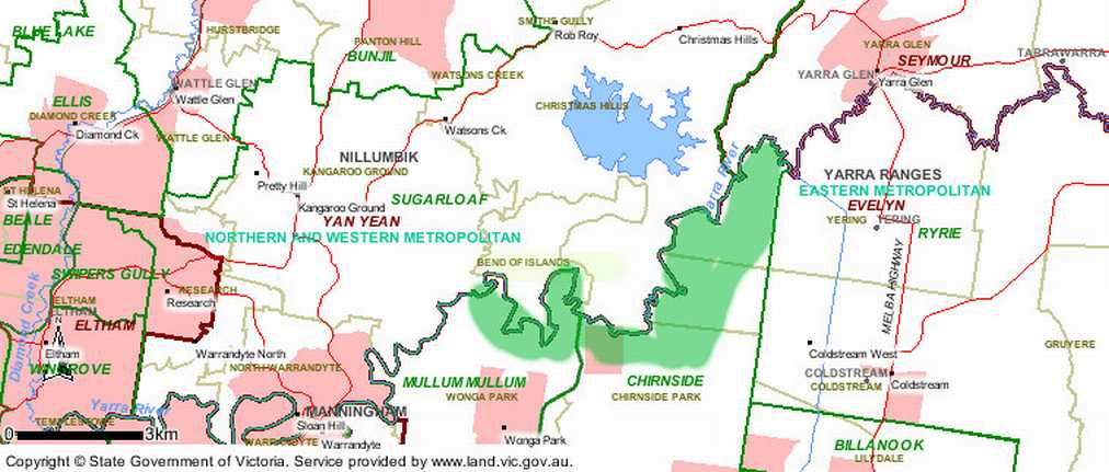
This map, marked up by the author, shows the area (in green) which would have been submerged
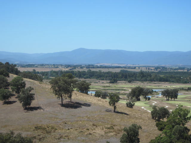
Photos by the author, taken in 2010, showing beautiful areas which would have been inundated
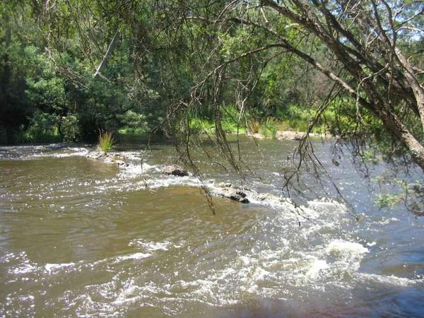
Yarra at Yarra Brae
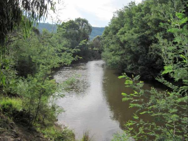
Yarra at Spadoni's Nature Reserve, Yering
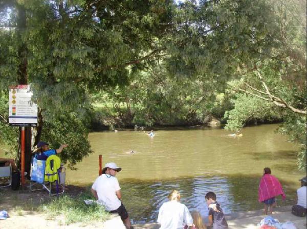
Canoe launching ramp at Reserve Rd, foot of Mt Lofty
Heritage and Country Club, Christmas Hills